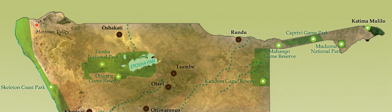
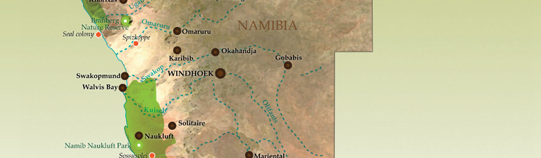
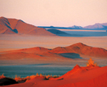
The “Skeleton Coast" is an evocative name for Namibia's bleak and savagely inhospitable northern seaboard - a maritime graveyard for unwary ships over the centuries whose surviving sailors only came ashore to die in the pitiless wastes of the Namib Desert. This area properly includes the National West Coast Recreation Area north of Swakopmund and the Skeleton Coast Park from the Ugab River north to the Kunene. The National West Coast Recreation Area is a frequent haunt of regional fishermen providing excellent angling. Cape Cross Seal Reserve north of Henties Bay is Namibia's best known breeding colony of Cape fur seals. The Ugab River Hiking Trail is a 3-day hike across the coastal plain into the jagged mountains and canyons of the interior.
Damaraland and Kaokoland are jointly known as the Kaokoveld - for the most part now falling into the politically defined Kunene region. This is one of the least accessible parts of Namibia and offers an insight into some of Namibia's most unusual natural features and fascinating cultures. Damaraland, named after the Damara people who make up most of the local population, is the hilly transitional zone between the arid Skeleton Coast and Namibia's scrubby central plateau - it holds the main repositories of Namibia's best known prehistoric rock paintings and engravings.
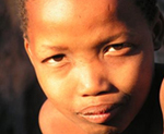
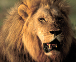
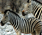
Originally referred to as the Kaokoland district, the remote north-western corner of Namibia is rugged, harsh, untamed and practically devoid of commercial tourist developments. This hinterland is still sparsely inhabited by man. The Himba (or Ovahimba) tribes are Herero descendants who continue their semi-nomadic existence in this primitive wilderness today. The Kaokoveld remains a wild sanctuary for small but wide-ranging populations of the renowned desert elephant, rhino, giraffe and lion.
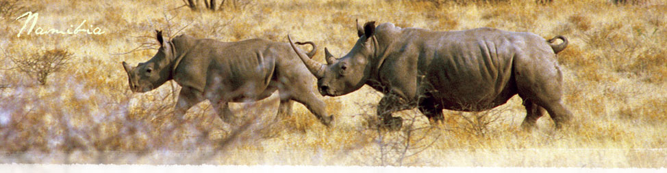
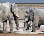
Etosha National Park is known for its endemic species of impala, the black faced variety and is said to have the tallest elephants in Africa, measuring up to 4m at the shoulder. The park is also well recognised as being one of the last wild sanctuaries of the endangered black rhino.
The Etosha Pan itself is believed to have originated over 12 million years ago as a shallow lake fed by the Kunene River. Subsequent climatic and tectonic changes have since lowered the water level so that the pan only holds water for a brief period each year - it teems with flamingos and pelicans in the summer. The saline and mineral residues together with moisture from perennial springs attract an immense number and variety of game and birds from mid March into November just before the new wet season starts.
The Caprivi Strip is a long panhandle enclosed by permanent water and stretching eastwards from the Kavango River to and along the Zambezi ending at the border junction of Namibia, Botswana, Zimbabwe and Zambia.
This lush savannah area is bounded by the Kwando, Linyanti and Chobe River system on the southern border with Botswana and with the Zambezi River forming part of its northern boundary with Zambia. Almost 70% of the bird species found in Namibia have been recorded in the Caprivi. The best of the Caprivi habitat is captured in the area shared with Botswana.